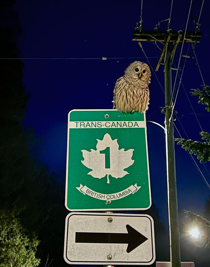
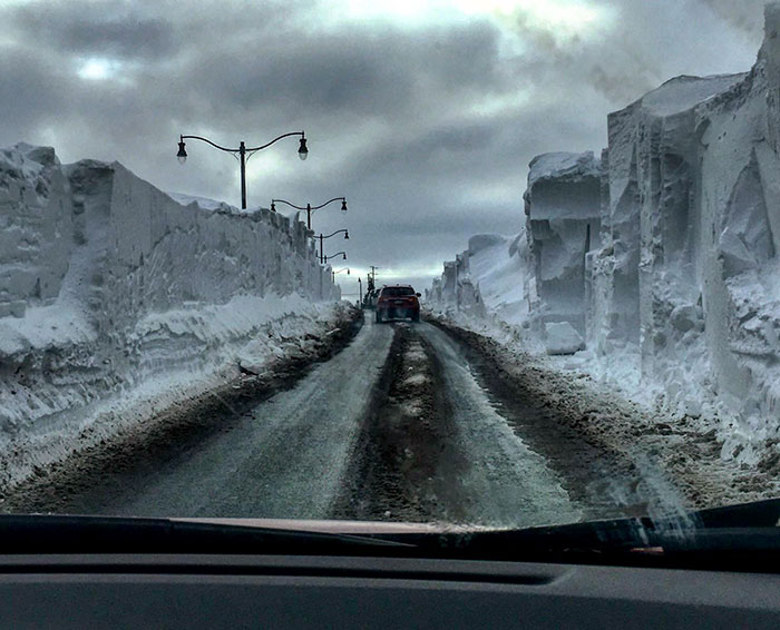
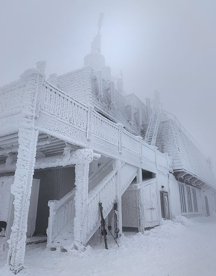
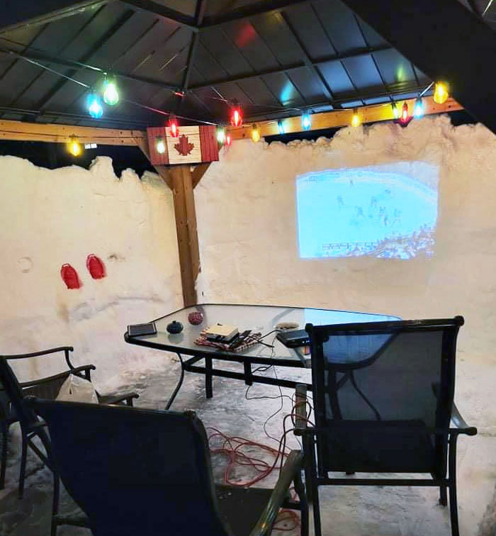
But there are some that stand out from the rest. Canada, with its thirst for maple syrup, hockey obsession, and extremely cold weather, among other things, belongs on this list. So we decided to put together a collection of pictures that capture the essence of its unique charm, showcasing its breathtaking landscapes, iconic landmarks, and diverse communities. From east to west, it stretches almost 4,700 miles (7,560 kilometers) across six time zones. But even though it’s the second largest country in the world, only one-half of one percent of the world’s population lives there. The Canadian Shield, a hilly region in the northern part of the country, even has some of the oldest rocks on Earth! Few trees grow here, and farming is not feasible, really. Native Canadians, called First Nations people, live in this region and by mostly hunting and fishing. Interestingly, around A.D. 1000, the Viking explorer Leif Eriksson reached Newfoundland and tried to establish a settlement there, but it didn’t last. The final one, called the French and Indian War, left the British in control of Canada; however, French influence remains strong even today. In 1867, Ontario, Quebec, Nova Scotia, and New Brunswick combined to form a dominion with its own separate government, parliament, and prime minister. Manitoba joined soon after and in 1931, Canada became an independent nation. Inuit people live mostly in the Northwest Territories and Nunavut. Many Native Canadians live on their traditional lands, but a considerable portion have moved to cities across the country. To get an even better understanding of this corner of the world, fire up our earlier “Meanwhile, in Canada” publications that reflect the country here and here. Follow Bored Panda on Google News! Follow us on Flipboard.com/@boredpanda! Please use high-res photos without watermarks Ooops! Your image is too large, maximum file size is 8 MB.